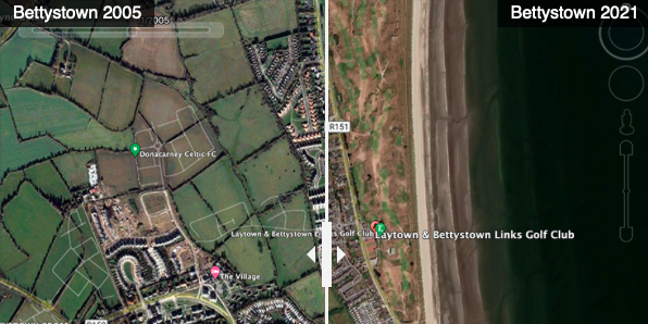
In this example I am using the slider to visualise urban sprawl in the seaside village of Bettystown using images from Google Earth.
If you download Google Earth Pro you can adjust the time to collect images from different time periods and then use the Juxtapose tool to do an overlay.
This is a simple, but elegant way to visualise change over time.
Very useful for showing the effects of climate change or conflict.

